A starting region for session one
Put a home settlement, a dangerous route and a few adventure sites in view. Decide travel times and encounters separately from the illustration.
Create world, region and city maps for your D&D campaign. Generate a setting, mark important places and export a PNG for your players.
For game masters,
worldbuilders
& wandering minds.
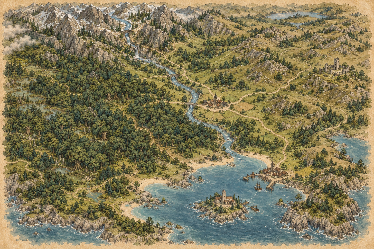 REGION · SAMPLE MAP
Build the wider setting or zoom in on the next location.
THE IMAGE IS JUST THE START
Let AI illustrate the setting. Keep the names, grid and finishing touches in your hands.
The image shown is a prepared ChatGPT sample, not a live generation.
Starts with the unlabeled original. Editing is free; no sign-in needed.
Prepared ChatGPT illustrations, not live API results or measured plans. Try either in the free editor.
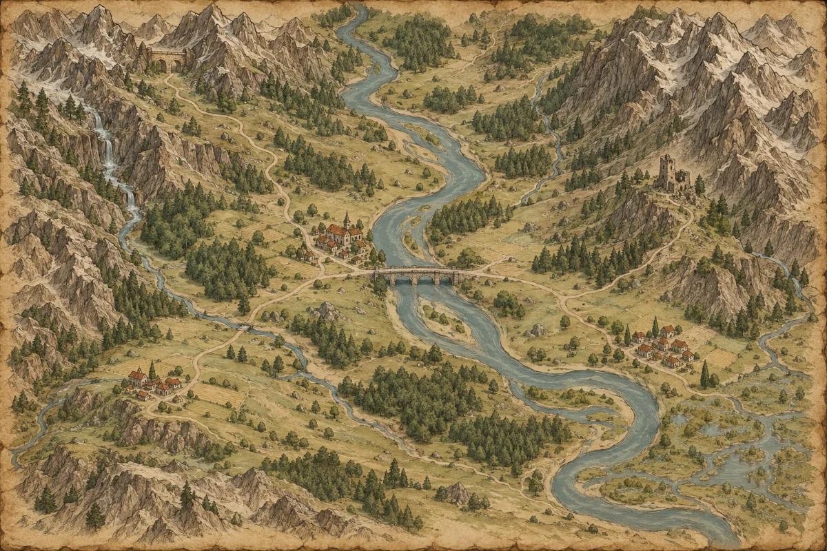
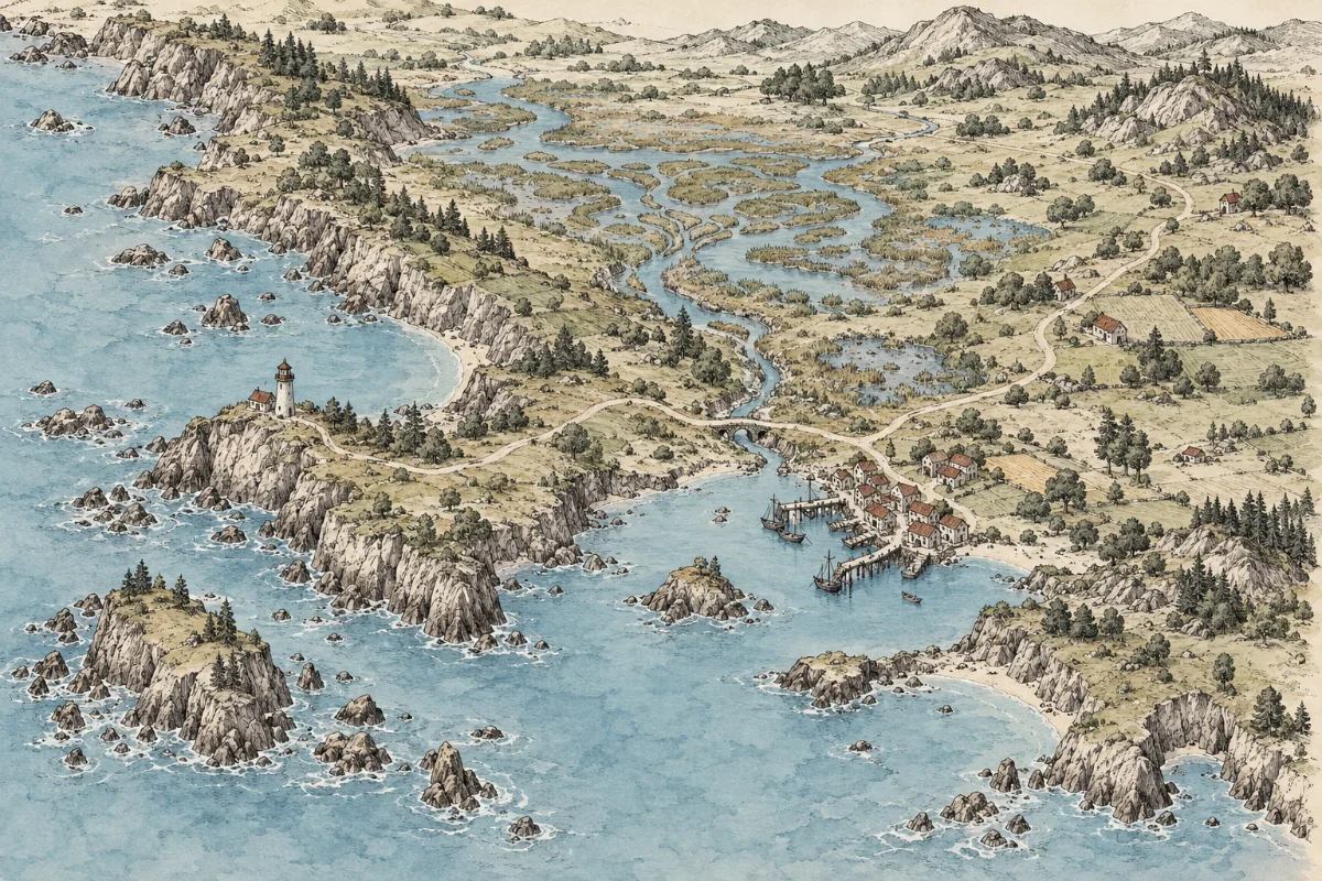
D&D 5e compatible as illustrative campaign maps. These maps are not rules content or measured battle maps. Strict top-down battle generation is postponed until it meets our quality checks.
Try this prompt: A fractured kingdom with an ancient forest, a mountain pass and a coastal city where the campaign begins. No text or labels.
Back to the fantasy map generator →Choose the view that helps you plan, write or play.
Put a home settlement, a dangerous route and a few adventure sites in view. Decide travel times and encounters separately from the illustration.
Download the original before adding names, then export a labeled version. Share the player-safe image and keep spoilers in your own notes.
A downloadable image, not a locked-in project format.
Download the clean image before adding annotations. Export a separate PNG from the editor for each version you want to share.
Import a PNG as an image in Roll20 or Foundry. Choose grid dimensions and pixels per cell in the editor, or export without a grid.
No scene files, walls, lighting or automatic grid alignment.
Set your output dimensions, then place the PNG in your layout or print workflow. Check the result at its intended size before printing.
Larger canvas dimensions do not add detail to the source image.
Upload a map or use a sample above. Editing stays in your browser and needs no account.
Images keep their aspect ratio. Any unused canvas area is padded with parchment; the preview and PNG use the same renderer.
Browser editing stays free. AI generation has a fixed credit allowance.
Try it with no sign-up.
For storytellers building a living world.
No subscription. Top up when you need it.
Draft launch pricing. Payments have been tested in sandbox mode; live billing and commercial licensing are not yet available.
No. This is an independent map tool for illustrative campaign settings. It does not include official rules, licensed settings or endorsement.
Not as a measured battle map. These illustrations do not guarantee overhead perspective, object scale or five-foot squares. Grid overlays alone cannot make them tactically accurate.
Grid overlays, labels, compass marks and PNG export are free and run in your browser. AI generation uses credits; monthly plans have a fixed allowance, not unlimited generation.
AI lettering can be unreliable. Prompts explicitly request no text. Add your own readable names in the free browser editor instead.
Start with a description, or bring a map you already have. The browser editor is free either way.